AI-Native Reality Capture at Any Scale.
Aerial, Streets, Indoors. Fused in 4D.
Work with us to get exactly the map and model data you need—delivered ready to go into Esri, Autodesk, OpenGov, and the systems you already run.
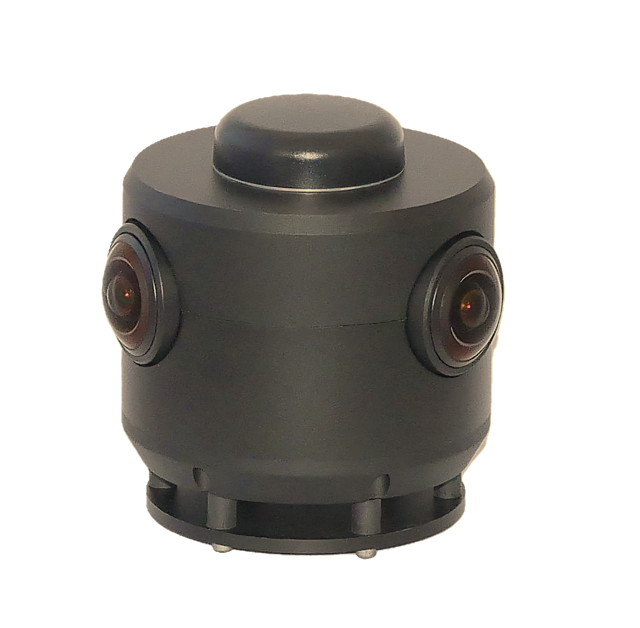


You capture. We deliver the data.
Capture 360° imagery and explore your own street view—then GeoCam builds the exact GIS data, maps, and CAD models you need, made on demand for each customer. Automated processing runs in between, and the GeoCam Portal manages projects, users, and cameras across it all.
The Portal
Manage
The GeoCam Portal sits over the whole pipeline—organize projects, control access, and keep your camera fleet in sync.
Capture
You + the Camera
You capture 360° imagery with one camera—from a single room to thousands of miles—by car, bike, cart, or on foot.
- GeoCam 360 camera
- Drive, walk, bike, or cart
- Indoors, under canopy, urban canyons
Process
Automated · PII + VPS + 3D
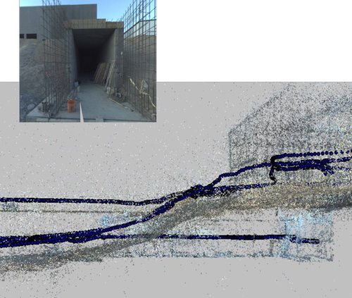
Automated cloud processing takes over—blurring PII, running our Visual Positioning System, and building accurate 3D from imagery, no LiDAR.
- PII blurring of faces & vehicles
- Visual Positioning System (VPS)
- Accurate 3D — no LiDAR
View
Your Imagery
Explore your own 'street view' of everything you captured—pan, zoom, and review every asset in context, right in the browser.
- Your own 'street view'
- Every capture, in context
- Share with your whole team
Deliver
GIS · Maps · CAD
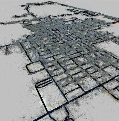
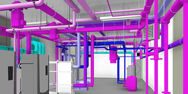
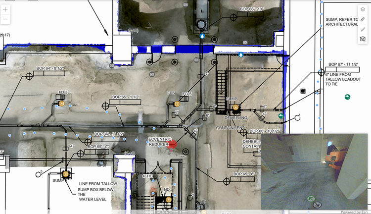
GeoCam builds the exact GIS data, maps, and CAD models you need—made on demand for each project and delivered ready for the systems you already run.
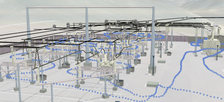
- GIS data & maps, built to spec
- CAD models on demand
- Made per project, per customer
- Ready for ArcGIS & Autodesk

PII blurred by default
Faces, people, and license plates are automatically detected and blurred during cloud processing—on every project, no extra steps or added cost.
Built for critical infrastructure operators.
GeoCam serves organizations where accurate, current spatial data is essential for operations, compliance, and planning.
Electric & Gas Utilities
PROBLEM
Incomplete asset records, undocumented corridors, manual inspection.
SOLUTION
Pole & substation docs, valve inventory, drive-by capture.
Learn moreFiber / FTTH
PROBLEM
Slow survey, permit delays, bad make-ready data.
SOLUTION
Design-ready pole data, attachment heights, BEAD-ready.
Learn morePublic Works & Transportation
PROBLEM
Sign inventories on spreadsheets, fragmented road data, costly LiDAR surveys.
SOLUTION
Roads, signs, ADA compliance, highway mapping, pavement condition.
Learn moreFacilities
PROBLEM
Outdated floor plans, unknown equipment locations.
SOLUTION
Indoor digital twins, equipment registers.
Learn moreDisaster Response
PROBLEM
Delayed damage assessment, no baseline imagery.
SOLUTION
Rapid post-event capture, before/after comparison.
Learn moreCampus + Parks & Rec
PROBLEM
Sprawling grounds, stale maps, scattered asset records.
SOLUTION
Campus, trail, field, facility, and park asset mapping.
Learn moreStart small. Scale from there.
GeoCam is priced as infrastructure—predictable, scalable, and aligned with your operational needs.
1 week of capture and processing credits, plus a data pack of mapped objects. Perfect to evaluate GeoCam on your infrastructure.